
Sam Young, Planner at Planning & Design Practice, on what the 2026 National Planning Policy Framework means for Green Belt land in Derbyshire.
The shift from the 2024 to the 2026 National Planning Policy Framework changes the planning conversation around Derbyshire’s Green Belt. The Green Belt has not disappeared, and its five purposes remain. But the policy framework has moved decisively away from treating Green Belt as a largely uniform constraint.
The emphasis now is on understanding which land genuinely performs a Green Belt function, identifying grey belt opportunities, and directing growth towards locations where development can be accommodated sustainably.
Why this matters more in Derbyshire than in most places
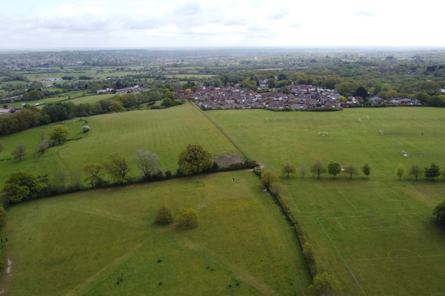
Derbyshire is already at the frontline. Derby and parts of the county sit within the Nottingham–Derby Green Belt, which makes this a strategic planning issue crossing administrative boundaries rather than a question any one authority can settle alone. Derby City’s Green Belt lies principally to the north and east of the city, extending into neighbouring authorities.
At the same time, authorities across the county are grappling with higher housing requirements and the need to identify sustainable development opportunities to meet them. Derbyshire County Council has itself recognised that the new national policy represents a more permissive approach to releasing Green Belt land.
Three questions, not one
This means the question for Derbyshire is no longer simply whether Green Belt should be protected. It is increasingly:
- Which parts of the Green Belt matter most;
- Which parts may be capable of accommodating growth;
- And where can that growth deliver the greatest strategic benefit?
The emerging planning challenge is therefore not one of protection versus development. It is about identifying the right locations for growth, ensuring that land is evaluated on its actual contribution to Green Belt objectives, and using evidence-led planning to deliver homes, jobs and infrastructure where they can provide the greatest long-term benefit.
Where grey belt fits
Much of this turns on the definition of grey belt, which we have written about before in Defining Grey Belt, and seen applied in practice in ‘Grey Belt’ designation opens up new development opportunities. Land that contributes little to the five Green Belt purposes — previously developed sites, land already enclosed by development, parcels that do nothing to check sprawl or preserve the setting of a historic town — is now treated differently from open countryside that does that work.
The same rebalancing runs through the rest of the 2026 Framework. We looked at its effect on heritage decisions in Heritage, public benefit and the new NPPF.
If you own or are promoting land in the Derbyshire Green Belt
The practical implication is that a Green Belt designation is no longer, on its own, the end of the conversation. What matters is the evidence: what the land actually contributes to Green Belt purposes, how well it relates to existing settlements and transport, and what the development would deliver.
That evidence is best put forward through the Local Plan process, and the time to do it is when authorities are preparing their evidence base rather than after it has been fixed. We have set out how that works in Plan making: so you want to promote your site for development?
If you own land in or on the edge of the Nottingham–Derby Green Belt and want to understand how the new Framework affects it, our planning team would be glad to talk it through. Call 01332 347371 or get in touch.